Mohenjo-Daro is an important archaeological site that provides evidence of the urban development of the Indus Valley Civilization.
One interesting way to study the settlement is through its map, which helps explain the location and relationship of its major structures.
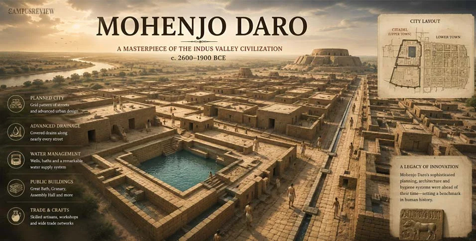
Some notable features include:
Citadel: An elevated area with significant public structures.
Lower Town: A major area of residential and everyday urban activity.
Great Bath: A prominent structure whose exact function is still discussed by researchers.
Street Network: Organized streets and lanes connecting different areas.
Drainage Infrastructure: A system that reflects attention to sanitation and water management.
The archaeological layout offers valuable insights into early city planning. However, interpretations of certain buildings, including the traditionally identified Granary, should be treated with care because their precise functions are not universally established.
For a detailed explanation and map, see:
https://thecampusreview.com/history-and-culture/mohenjo-daro-map/


 Locked