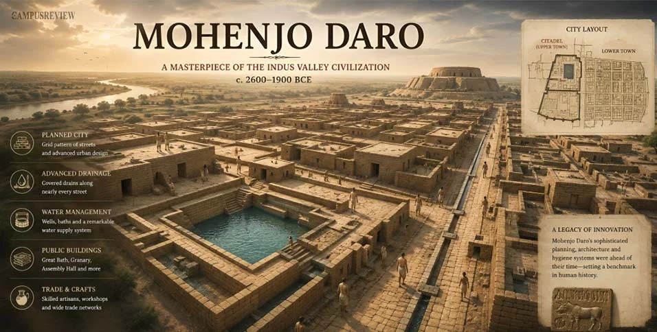
What Can Mohenjo-Daro's City Layout Tell Us About the Indus Valley Civilization?


 Locked


What Can Mohenjo-Daro's City Layout Tell Us About the Indus Valley Civilization?
 
|
| Free forum by Nabble | Edit this page |
|
|
| Free forum by Nabble | Edit this page |