Mohenjo Daro is one of the best-known archaeological sites of the Indus Valley Civilization. Its city layout provides evidence of organized streets, residential areas, public structures, and drainage arrangements.
The map highlights two major sections: the raised Citadel and the Lower Town. It also identifies important structures such as the Great Bath, Granary, and Assembly Hall.
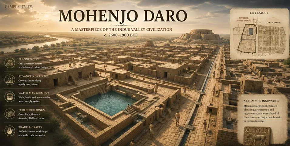
One especially interesting feature is the covered drainage system, which shows how sanitation was incorporated into the city's design.
Let's discuss:
What does Mohenjo Daro's street layout tell us about ancient city planning?
Why is the Great Bath considered an important archaeological structure?
How did the drainage system support everyday urban life?
What can the city's residential buildings reveal about the Harappan people?
Explore the map and detailed explanations here:
https://thecampusreview.com/history-and-culture/mohenjo-daro-map/


 Locked